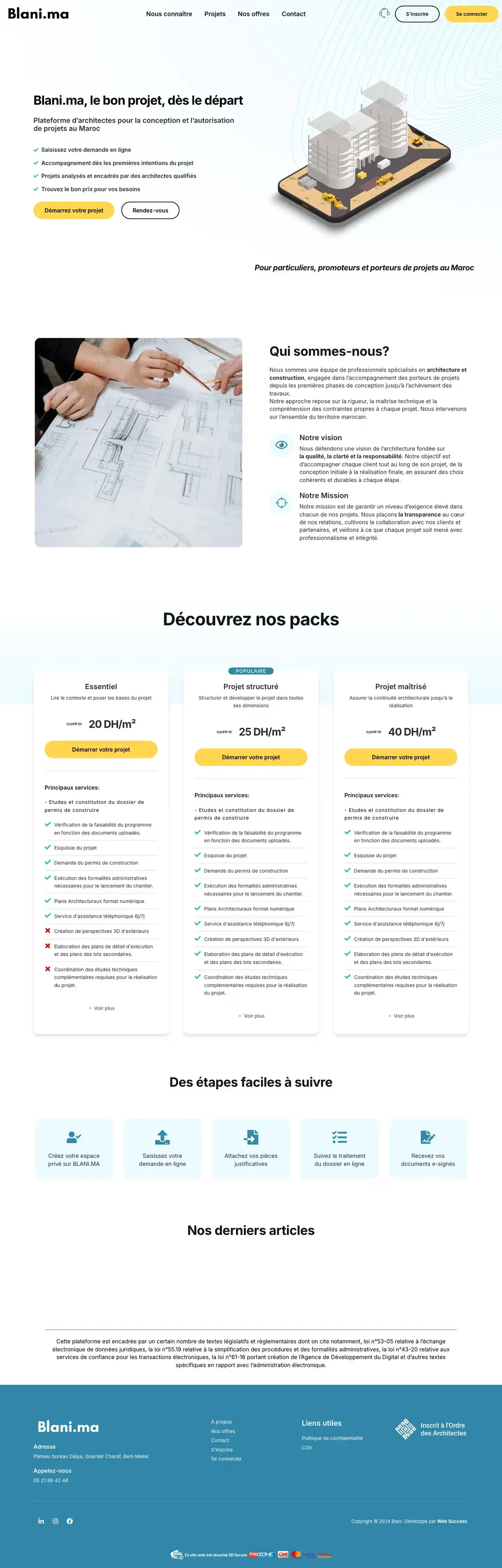
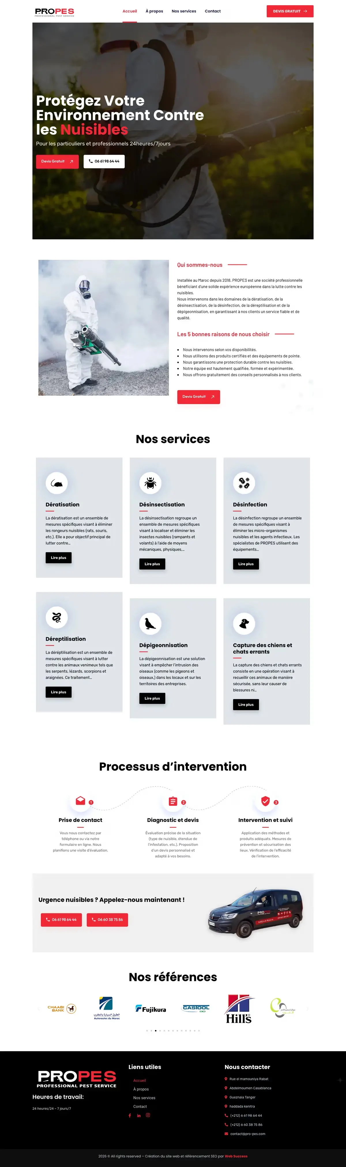
TopoSysSurveying, aerial photogrammetry and GIS firm.
- Client
- TopoSys
- Sector
- Services
- Services
- UX/UI design, WordPress website, Technical SEO
- Live site
- toposys.ma
The project
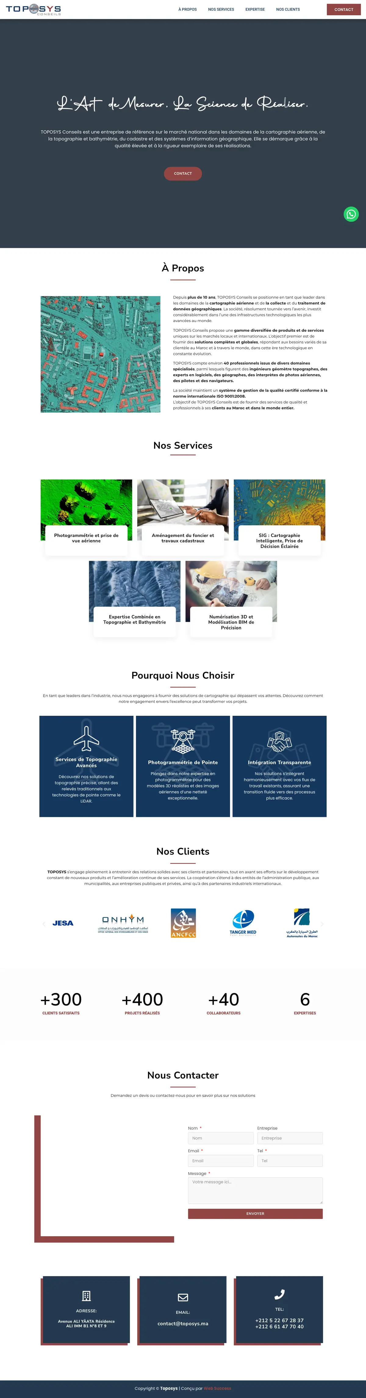
TOPOSYS Conseils works in aerial mapping, surveying, bathymetry, cadastre and geographic information systems, in Morocco and abroad. It states more than 10 years in business.
The brief
Technical trades need to be understood by clients who are not specialists. The site had to describe each service clearly and show the clients already served.
Our work
What we designed and built, step by step.
One page per service
Photogrammetry and aerial imaging, land and cadastre, GIS, topography and bathymetry, 3D scanning and BIM.
Reasons to choose the firm
A section explaining why to entrust these technical services to this firm.
Clients and contact
The clients already served and a contact page.
On mobile
The same journey, designed for the phone first.

Technologies


The site is live
toposys.ma